This initiative, driven by the Urban Planning, Environment, and Mobility Department, represents an investment exceeding 182,000 euros for the years 2026 and 2027. The contract has been awarded to Telespazio Ibérica and stands out for the frequency and quality of the data it will provide, with up to six annual updates including three-dimensional information and detailed maps on Madrid's urban evolution.
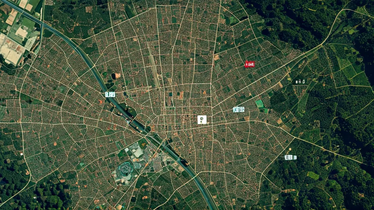
The system will combine high-resolution images with data obtained from Sentinel satellites, enhanced through advanced techniques. This will allow for the generation of urban change maps, terrain elevation models, and vegetation analysis, offering a near real-time radiography of the capital's status.
The applications of this tool are diverse. In urban planning, it will facilitate the detection of new constructions, demolitions, or irregular interventions, as well as the monitoring of ongoing works. For fiscal matters, it will help locate undeclared properties or unlicensed works, directly impacting taxes such as IBI and ICIO.
The environmental component is crucial, enabling the City Council to identify areas with higher thermal stress, analyze the evolution of tree mass, and study the potential of rooftops for solar panel installation. This technology will cross-reference urban heat and energy capacity information to guide future climate policies.
In terms of mobility, the analysis of new residential or commercial developments will help adjust public transport routes and design cycling infrastructures. Social services will be able to better evaluate equipment distribution, while emergency teams will have crucial geospatial information to act quickly in response to fires or extreme weather events like storm Filomena.
All this information will be available to citizens and businesses through municipal digital portals, consolidating the foundation for the city's future “digital twin”—a virtual replica that will allow for scenario simulation and more effective anticipation of urban decisions.