The engineering and consultancy company Vielca has developed advanced remote sensing tools. These tools are capable of analyzing territory, predicting areas at risk of flooding and forest fires, and assessing damage after a catastrophe. This work has received the highest score in its category within the business PhD program of the Valencian Innovation Agency (AVI).
The project, titled “Technical Excellence in Remote Sensing” and co-financed by the European Union, achieved 98 out of 100 points in Line 3 of the Talent Promotion Program 2026-2028. It competed with 25 other projects and has a grant of nearly 50,000 euros for the 2026-2028 period. The main objective is to transform advances in remote sensing, such as territorial analysis using satellite images, drones, and sensors, into practical applications. These tools aim to help Administrations improve their knowledge of the territory, anticipate risks, and respond more effectively to extreme phenomena.
Constan Amurrio, technical director of Vielca's Environmental Area, explains that the technology currently used to measure forest loss or carbon storage in vegetation can be reoriented. The goal is to analyze the territory to identify areas with a higher risk of flooding or fire, quickly assess damage after a catastrophe, or improve territorial management during its occurrence.
The relevance of this project is amplified in the current context, marked by extreme episodes like the DANA, which highlighted the need to strengthen technical tools for analysis, prevention, and response to floods. Furthermore, recent forest fires in the Valencian Community underscore the importance of improving territorial knowledge and anticipation capabilities.
The proposal integrates scientific research, technological development, and practical application. The aim is for advancements to be incorporated into real projects, generating direct returns for society. Among the innovations are the development of proprietary IT tools, created from scratch, that analyze landscape changes in detail, such as forest mass loss or territorial fragmentation.
Another line of work focuses on creating reliable vegetation and carbon maps using open-access satellite imagery. The objective is to demonstrate the feasibility of obtaining precise territorial information without relying on costly technology. A differentiating feature of these products is the inclusion of information about their reliability margin, helping Administrations interpret data and make informed decisions, especially in the face of increasing climate pressure.
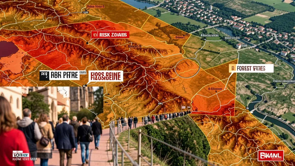
The project also includes the development of artificial intelligence-based models to identify areas exposed to floods or forest fires by cross-referencing terrain, vegetation, and climate data. The first products, such as risk maps and web viewers, are expected to be available for risk management between 2026 and 2027, while tools for territorial management will be completed around 2028. Vielca is thus promoting Valencian technology that connects doctoral research, AI, and advanced territorial analysis with the growing need to improve Administrations' capacity for managing environmental risks.