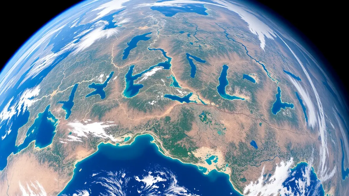
This initiative, developed by NASA for Earth Day, allows users to explore any corner of the planet and transform real photographs of Earth into a typographic system. The tool generates any word using satellite images of rivers, lakes, fields, or natural formations captured from space.
The name of Arcos de la Frontera, known as the entrance to the White Villages of Cádiz, has been recreated with this technology, as shared by the Instagram account @arcos_secreto. Each letter is composed of unique landscapes, showcasing natural beauty from a different perspective.
“"NASA launched an interactive tool that allows you to write words using real satellite images of Earth… and you can also discover what any name looks like from space."
This digital project connects technology, nature, and environmental awareness, offering an innovative way to visualize the planet. The tool is not limited to place names but allows users to form any word, such as personal names, pet names, or cities, with satellite landscapes.